Atlantic Coast
There are 13 sites and 114 sub-sites:
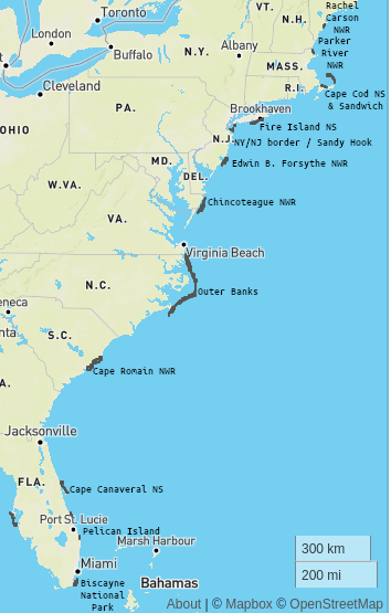
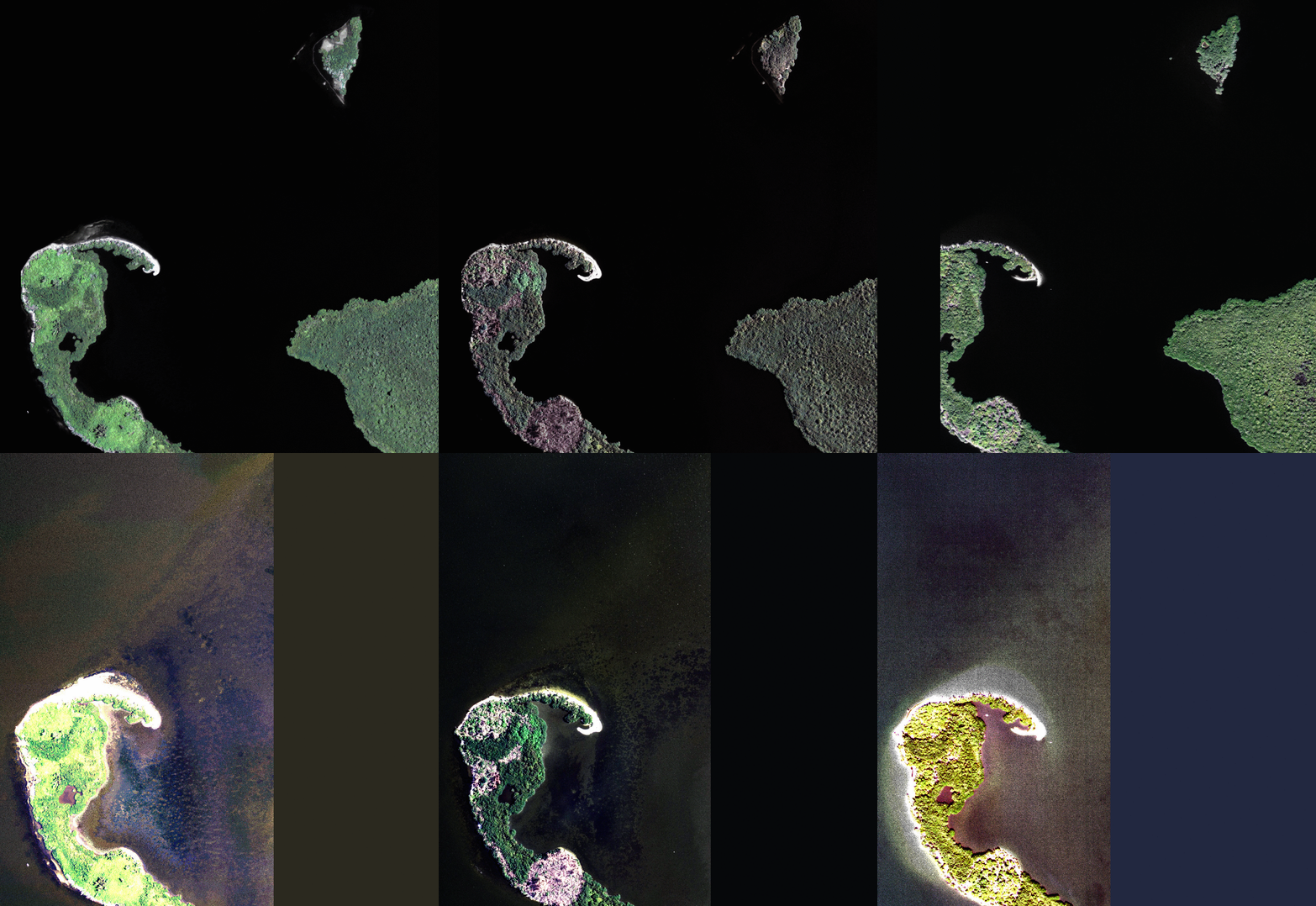
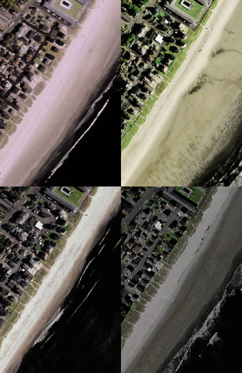
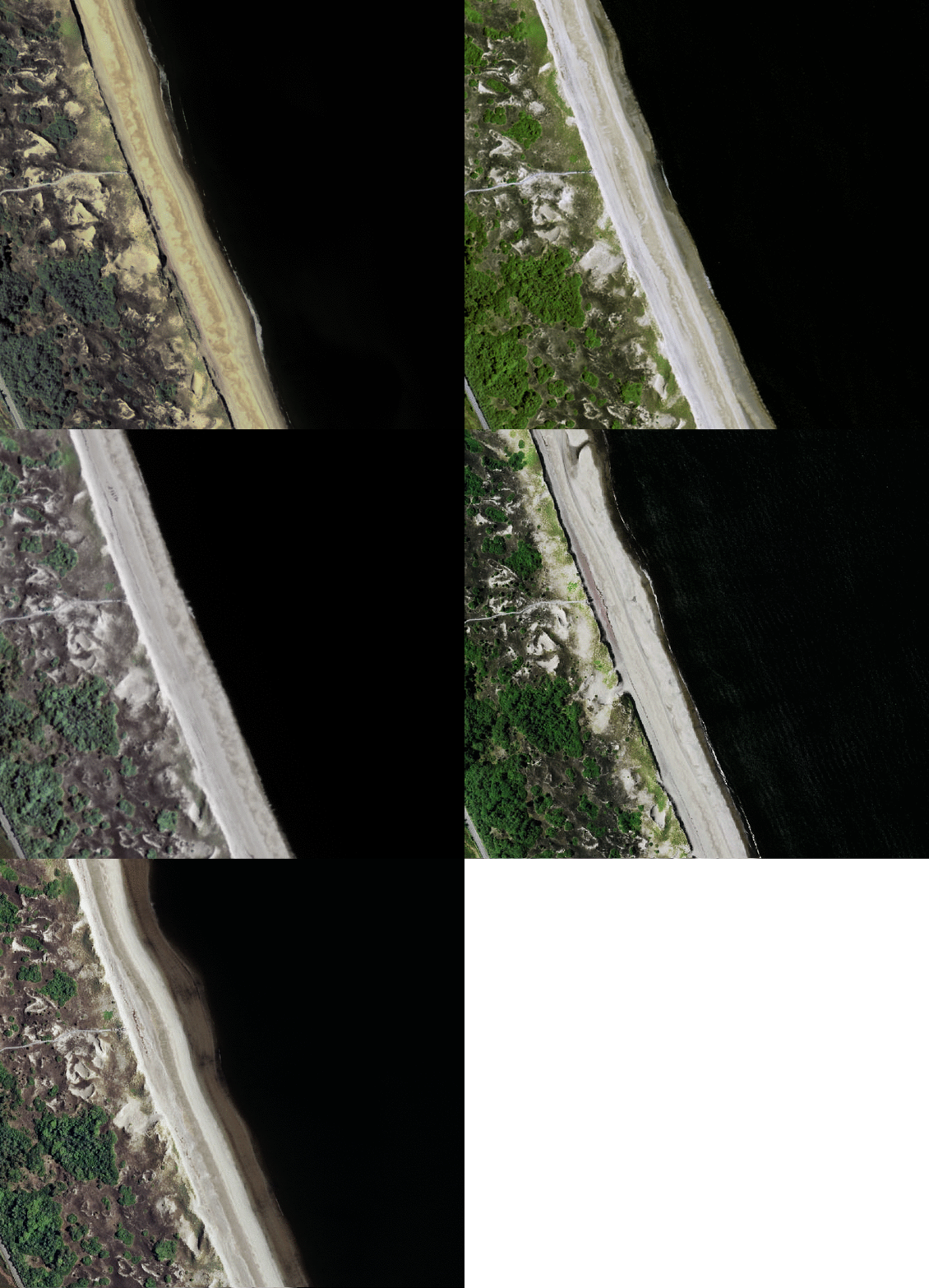
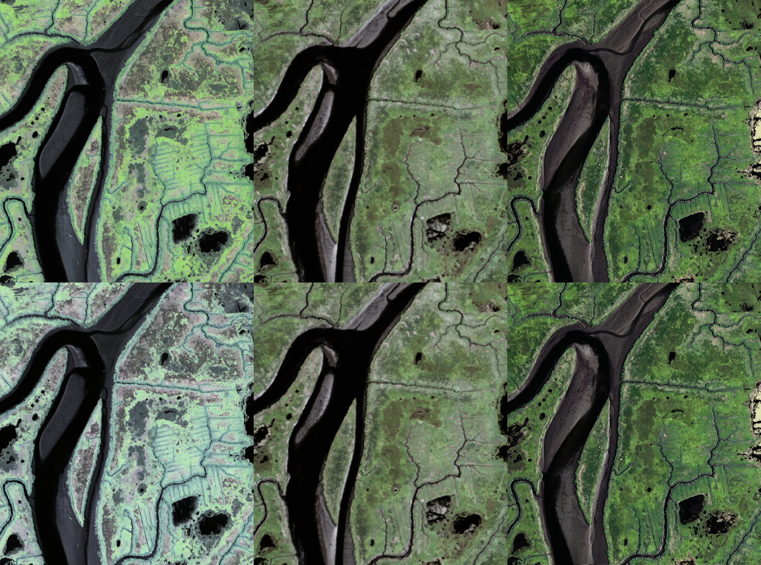
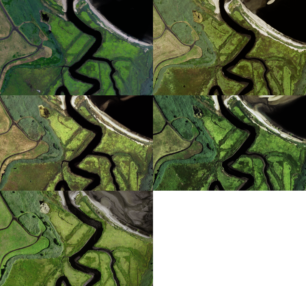
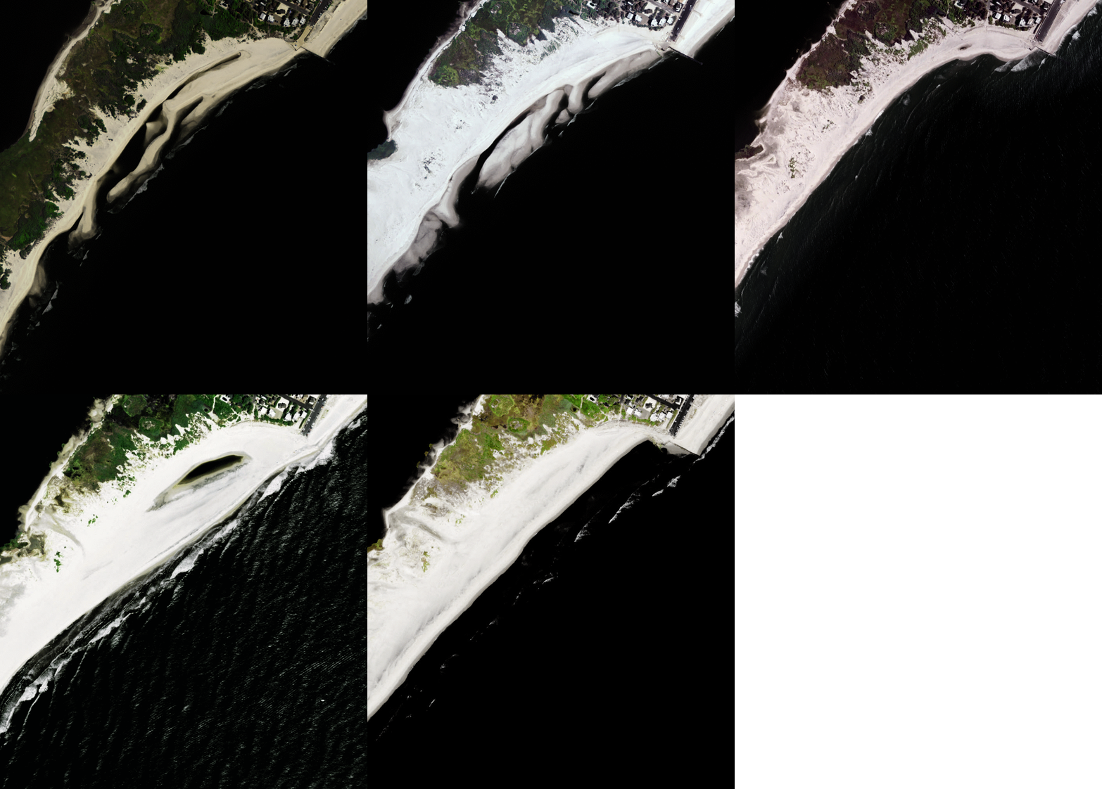
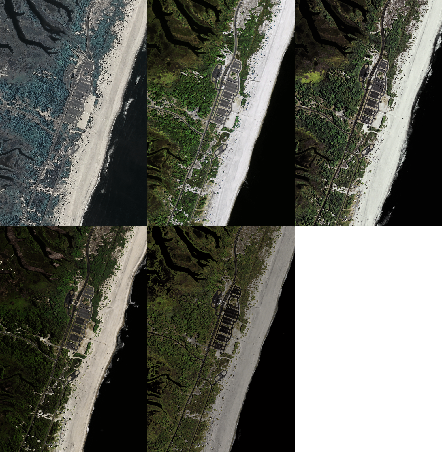
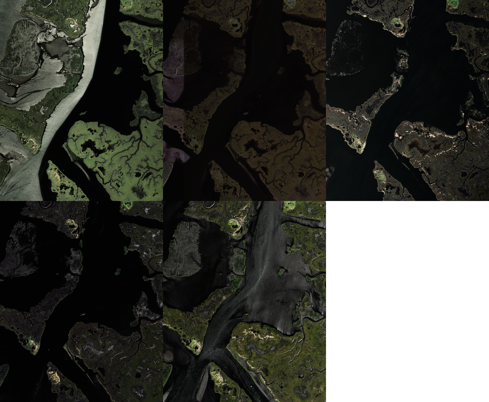
Note that all imagery here originates from the National Agriculture Imagery Program or NAIP. These 1-m pixel size scenes have been collected between Jan 1 2010 and Dec 31 2020 and are for illustration purposes only, although they do constitute a subset of the full Coast Train dataset (forthcoming).
Rachel Carson National Wildlife Refuge
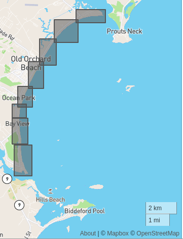
Example 1: -70.384357452, 43.468219321
Example 2: -70.355552673, 43.532445950
Parker River National Wildlife Refuge
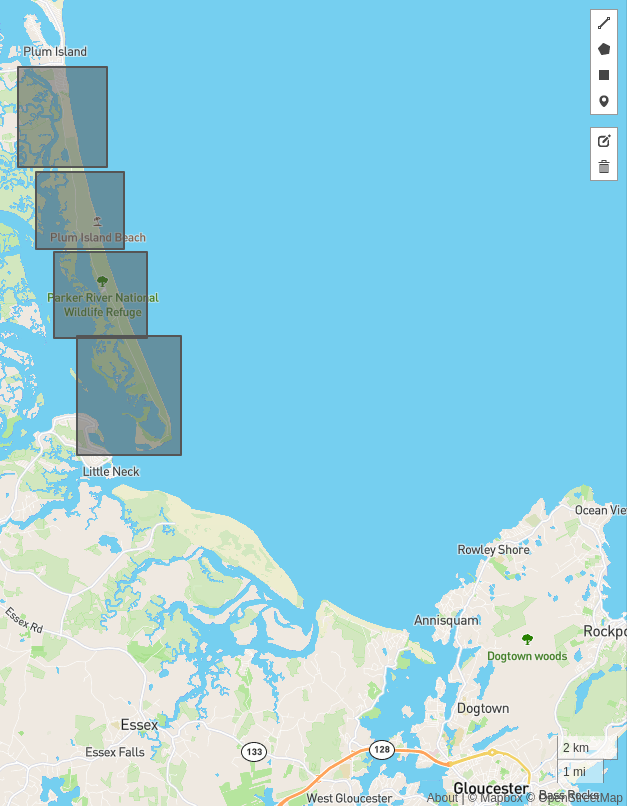
Example 1: -70.806129455, 42.759817906
Example 2: -70.789855957, 42.712106956
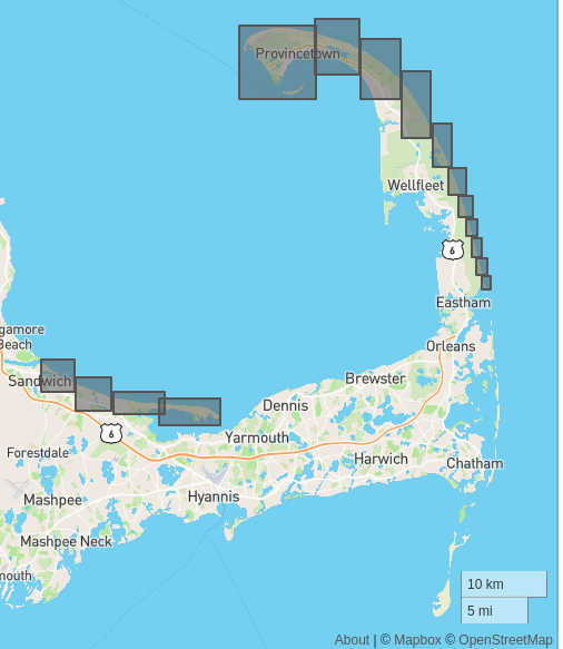
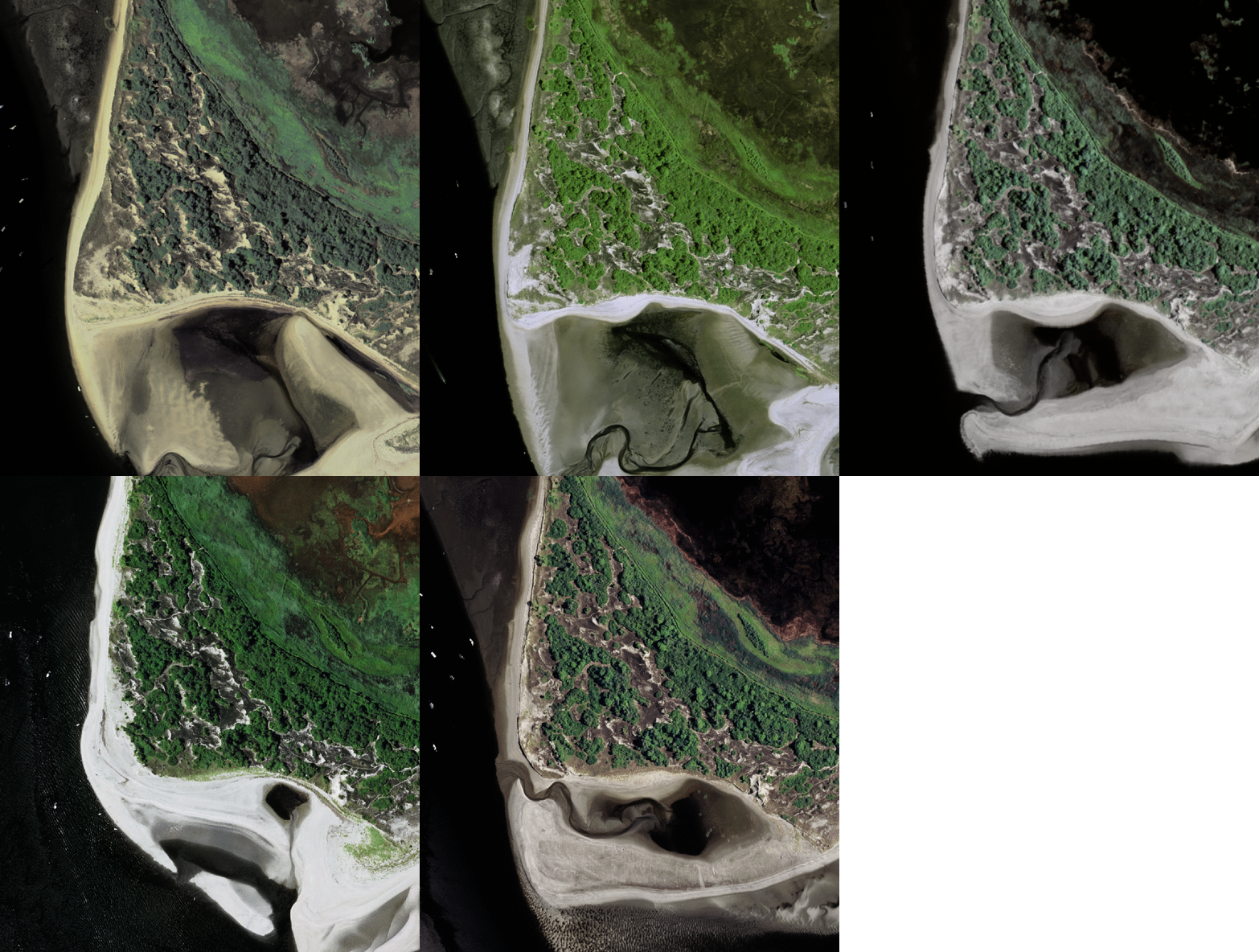
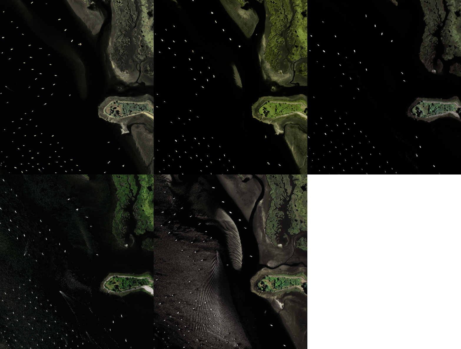
Cape Code National Seashore and Sandwich Beach
Example 1: -69.947410583, 41.846956146
Example 2: -69.947410583, 41.846956146
Fire Island National Seashore
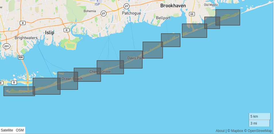
Example 1: -72.968719482, 40.695631511
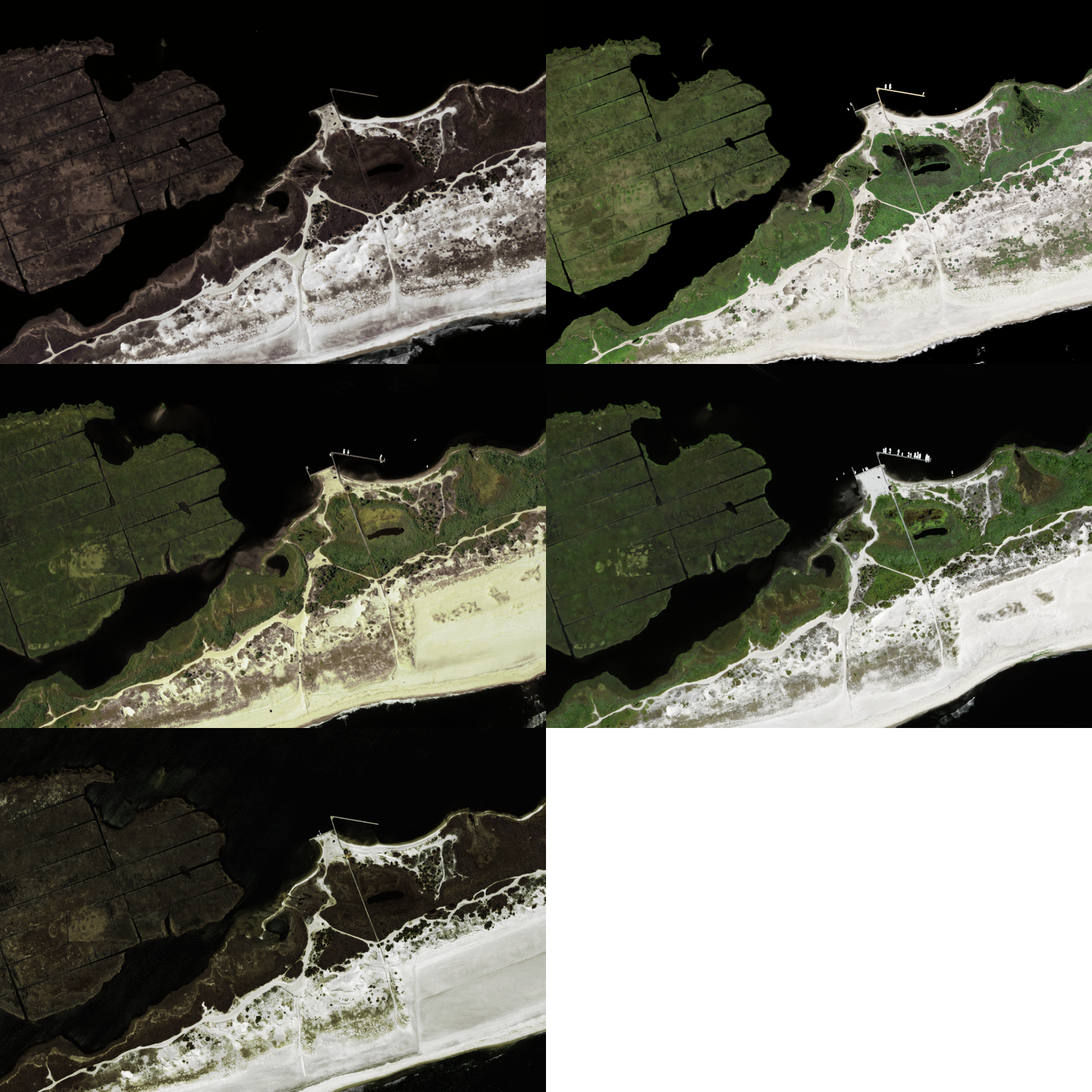
Example 2: -73.291030883, 40.622187048
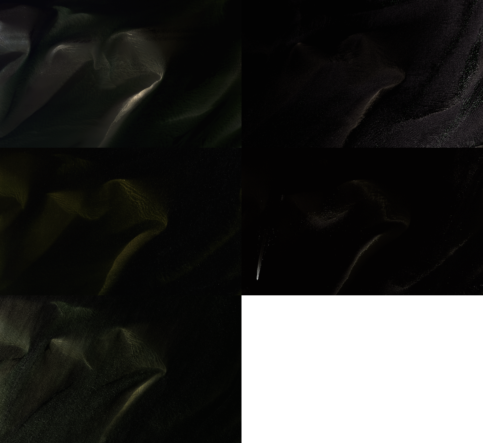
Coastal New York/New Jersey border
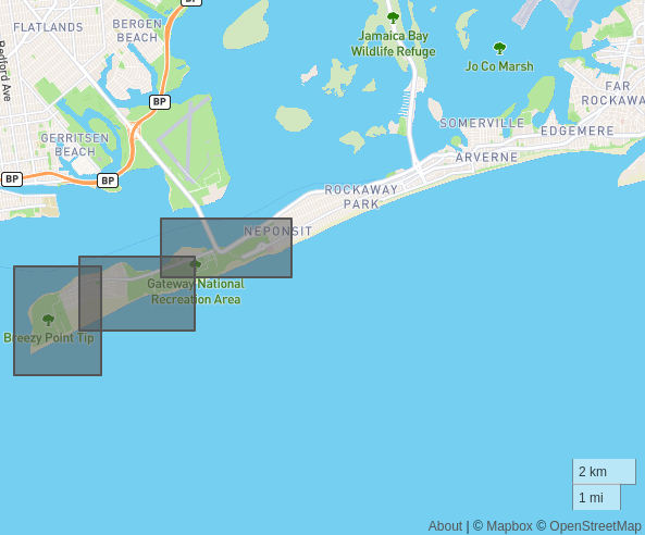
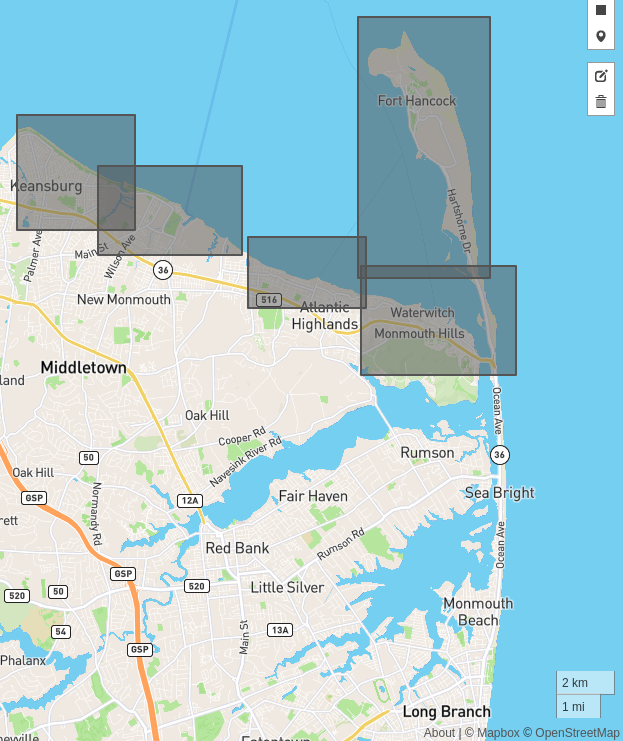
Example 1: -74.044349670, 40.417259504
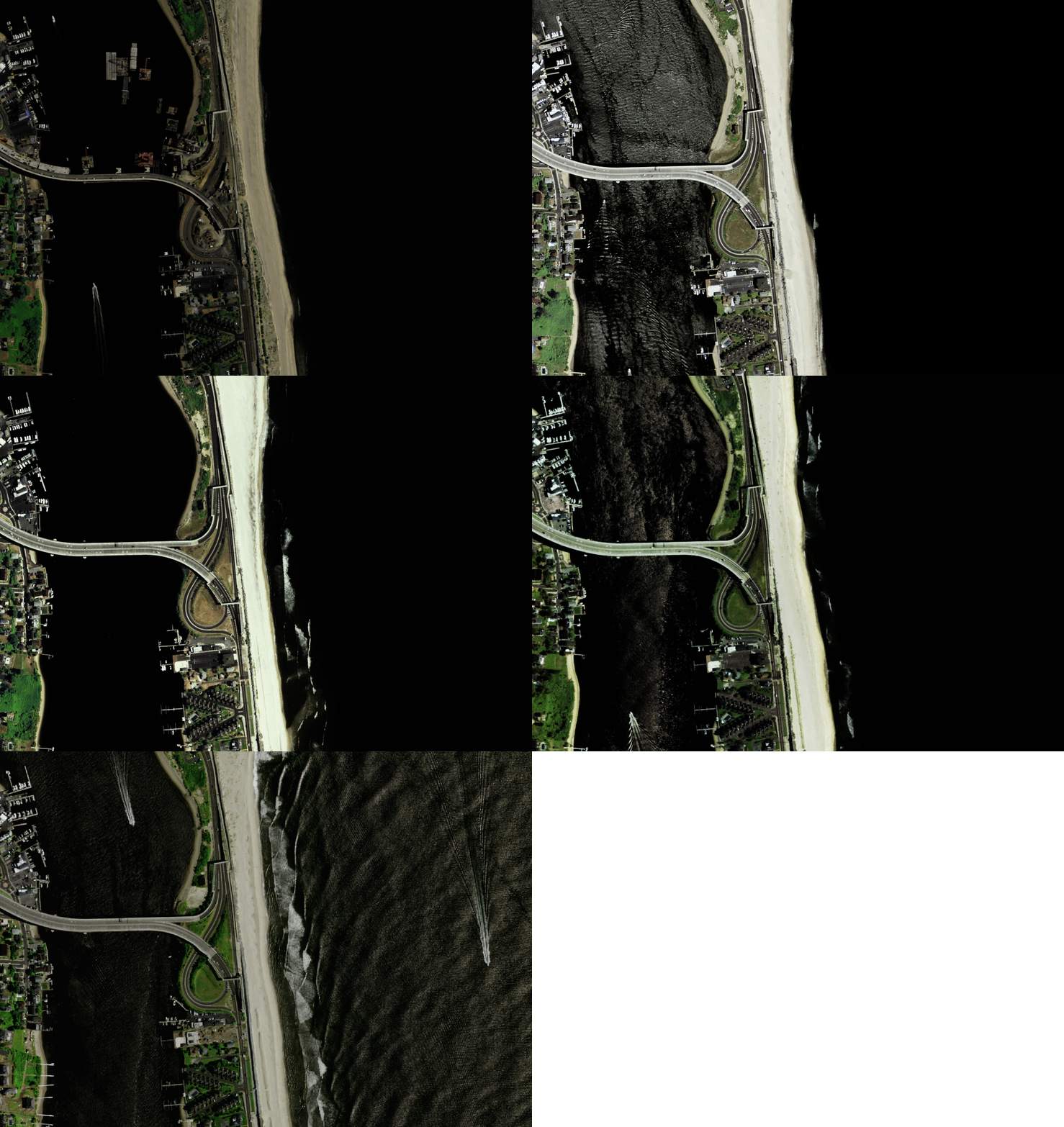
Example 2: -74.123657226, 40.442242404
Edwin B. Forsythe National Wildlife Refuge
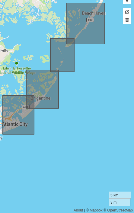
Example 1: -74.320037841, 39.479871575
Example 2: -74.421661376, 39.373897717
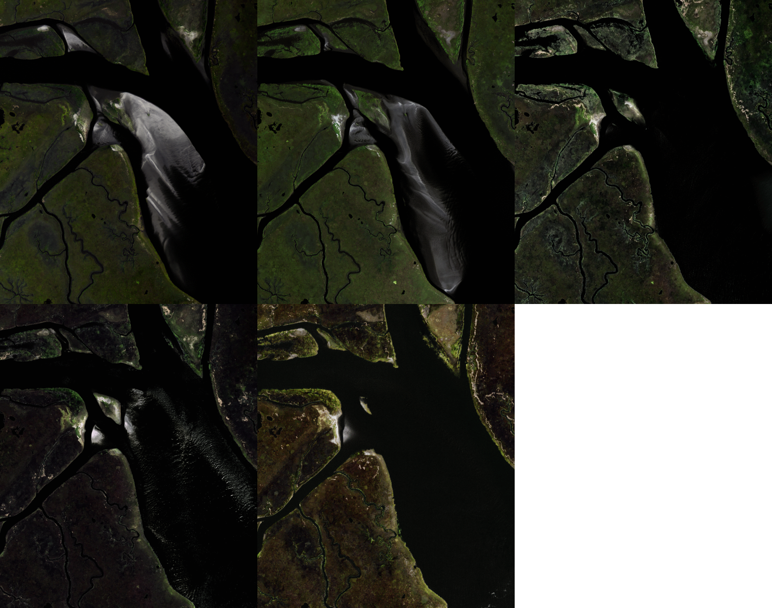
Chincoteague National Wildlife Refuge
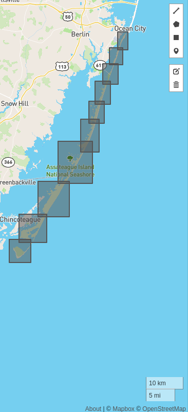
Example 1: -75.178070068, 38.154533696
Example 2: -75.107345581, 38.305346298
Outer Banks
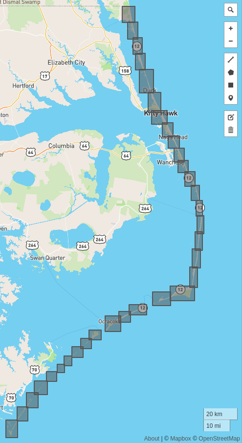
Example 1: -76.219848632, 34.92861108
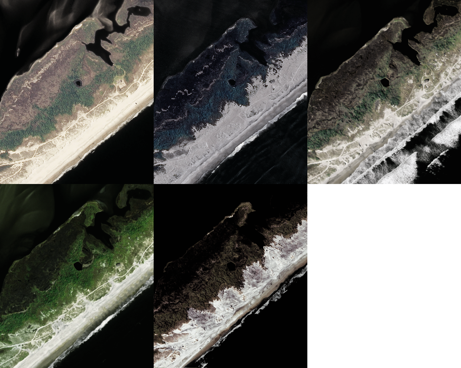
Example 2: -75.88284301, 36.505432900
Example 3: -75.88284301, 36.505432900

Cape Romain National Wildlife Refuge

Example 1: -79.283386230, 33.135238218
Example 2: -79.49047851, 33.028915477
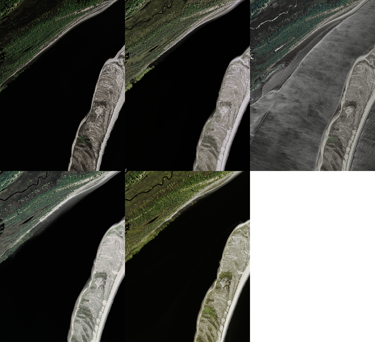
Canaveral National Seashore

Example 1: -80.714080810, 28.742373958

Example 2: -80.674530029, 28.689018475
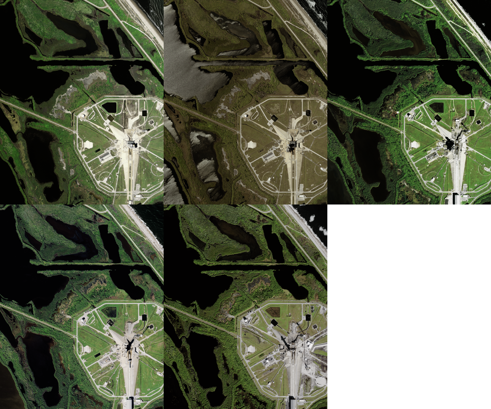
Pelican Island
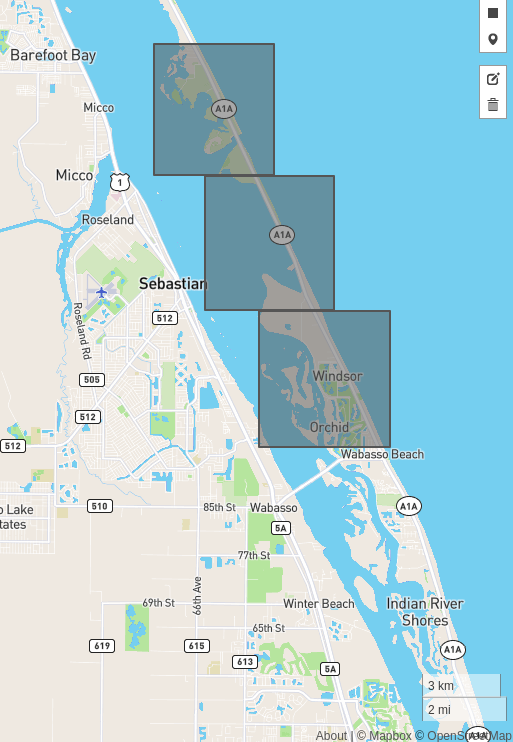
Example 1: -80.442031860, 27.824683262
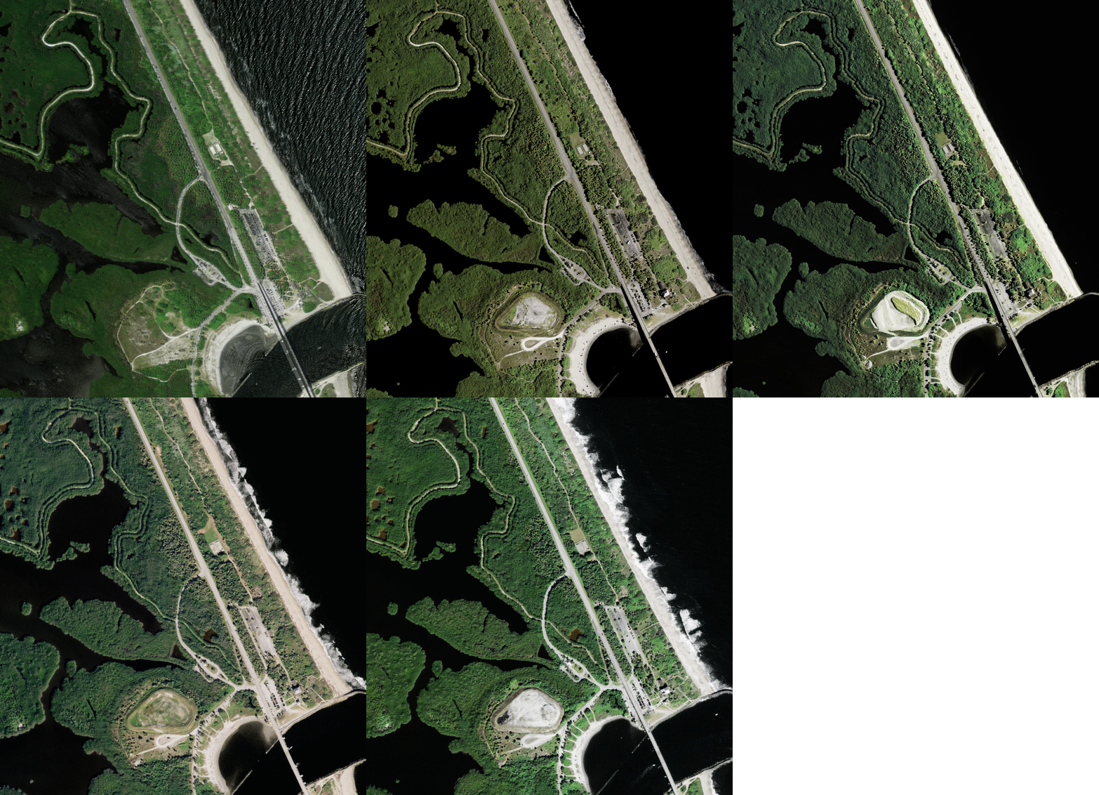
Example 2: -80.460777282, 27.865301132
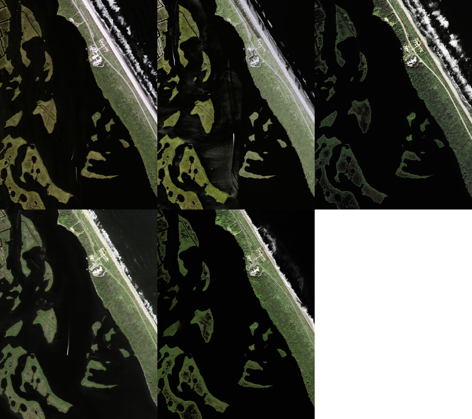
Biscayne National Park

Example 1: -80.238098144, 25.403825995
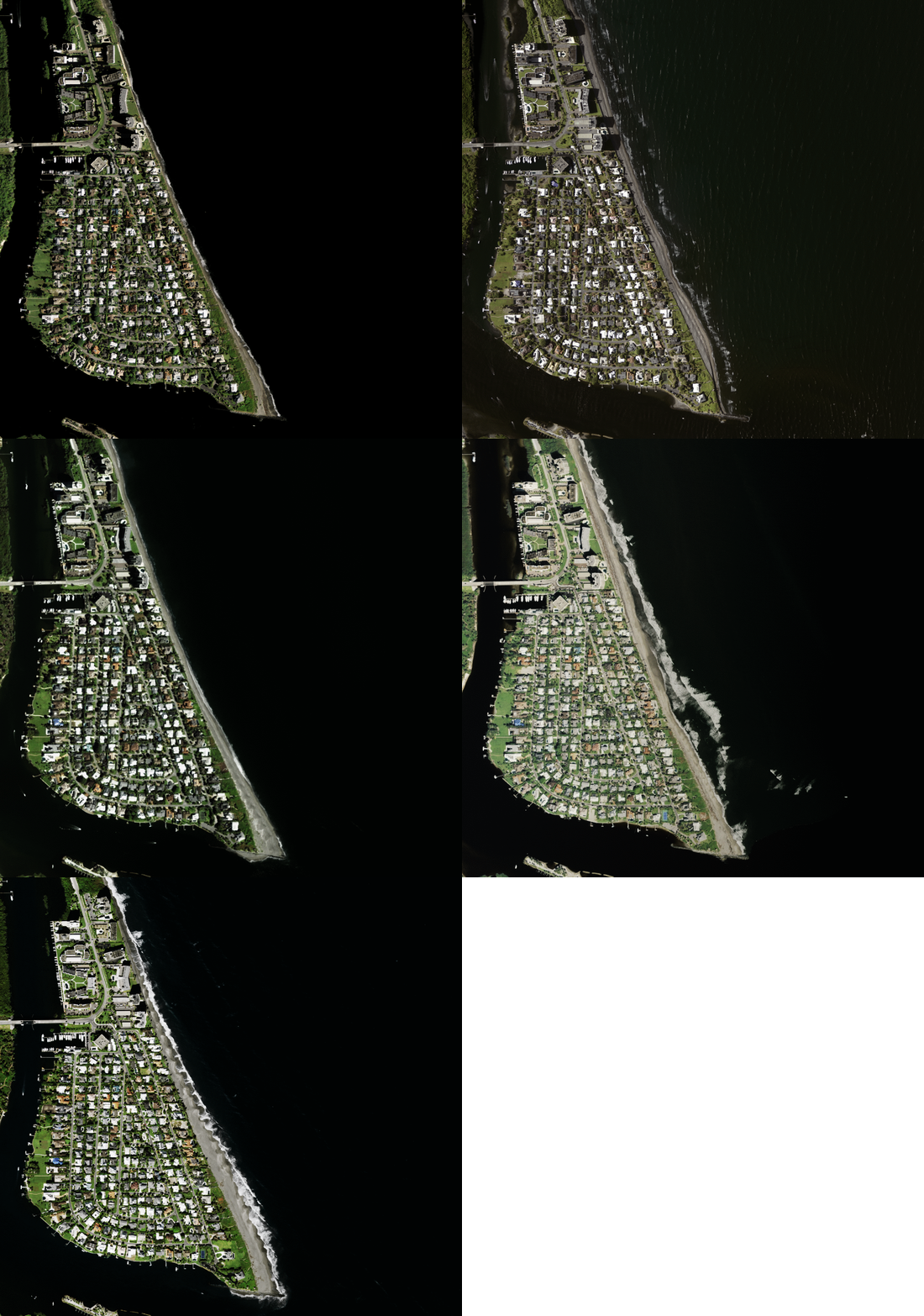
Example 2: -80.112030029, 27.01594378
